
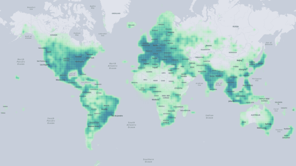
The Linux Foundation, a non-profit organization, recently announced a partnership with Amazon Web Services (AWS), Meta, Microsoft, and location technology creator TomTom, based in the Netherlands. The goal of this collaboration is to develop open map data that can enhance mapping services globally.
Interestingly, Google, the renowned pioneer in mapping technology with its popular Google Maps app, is not included in this group. According to the Linux Foundation, the mission of this partnership, known as the Overture Maps Foundation, is to facilitate the creation of reliable, user-friendly, and interoperable open map data for both current and future map products.
The participating companies will contribute their own data and pool their resources to build map data that is open and expandable to all parties under an open data license. The Linux Foundation stated that this approach will drive innovation by fostering a network of communities that can develop services using Overture data.
The Overture Maps Foundation has outlined its working methodology, which includes collaborative map building by incorporating data from various sources, such as member companies, civic organizations, and open data sources. It also aims to simplify interoperability by establishing a global entity reference system that links entities from different data sets to the same real-world entities.
Moreover, the foundation plans to implement quality assurance processes to validate the accuracy of map data and detect errors or vandalism that may affect its usability in production systems. Additionally, it aims to promote the adoption of a common, structured, and well-documented data schema to create an ecosystem of map data.
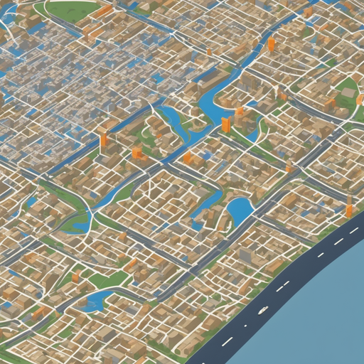
The Overture Maps Foundation intends to expand its membership and encourage the participation of a wide range of contributors to enhance map data. It anticipates releasing its initial datasets in the first half of 2023, which will include basic layers such as buildings, roads, and administrative information. Over time, the foundation plans to improve the coverage, resolution, and accuracy of existing data while introducing new layers like places, routing, or 3D building data to support next-generation map products.